Important Information About Sailing In The MPA
Plymouth is a busy port, servicing commercial, naval, transport and recreational vessels and craft, with a large tidal range, up to 5.85m. It’s important to be aware of local navigational and tidal information when boating or sailing around Plymouth and the MPA.
Navigational safety
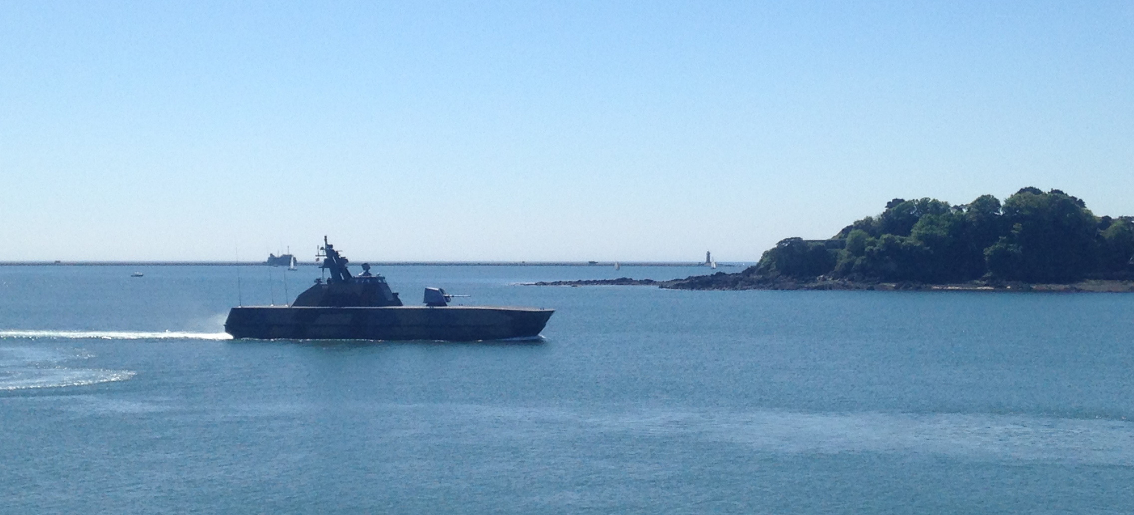
The deep water navigation channels are well marked by buoys and lights. The Plymouth Sound is a busy working port, and the channels are in constant use by the Royal Navy, ferries, large tankers, bulk carriers, fishing vessels and other traffic.
For your safety, recreational and small craft users should:
- Keep well clear of the channels, or if you have to cross them, do so at right angles as far as is practical.
- Obey Rule 9 of the Collision Regulations for conduct in narrow channels.
Navigation and the tide
River Lynher - dries extensively but is navigable on the flood tide up to St Germans Quay (no mooring).
River Tamar - navigable on the flood tide to Calstock, 12 miles above the Tamar Bridges.
River Tavy - only accessible to unmasted craft and is navigable to Bere Ferrers.
Things to be aware of
- No mooring or landing is permitted on the Plymouth Breakwater.
- Seasonal swimming areas off the Hoe foreshore, Bovisand Bay, Cawsand Bay and Western King are marked by yellow buoys.
- Beware of boats flying the blue & white ‘A’ flag – this indicates there are divers in the water.
- Small craft must avoid impeding the Torpoint Floating Bridge Chain Ferry that crosses between Devonport and Torpoint.
VHF Radio Channels
The recognised ship-to-ship channels are 6, 8, 72 and 77.
Remember!
Channel 16 is a distress, safety and calling channel only. Other than for distress, it must only be used to establish contact before going to a recognised channel. Port operation channels must not be used for ship-to-ship communications..
Port operation channels:
| 11 | Tug Control |
| 12 | Sutton Lock working channel |
| 14 | VTS/KHM Naval & Commercial Port Control |
| 14 | Plymouth Pilots calling channel |
| 65 | Rame Head |
| 63 or 73 | HM Coastguard working channels |
| 37 and 80 | Marina working channels |
The King's Harbour Master
Safety, navigation and Local Notice to Mariners
For more information on navigation and safety when sailing and boating in the area, and for the Plymouth Local Notices to Mariners & Navigational Warnings, visit the King's Harbour Master’s website.